


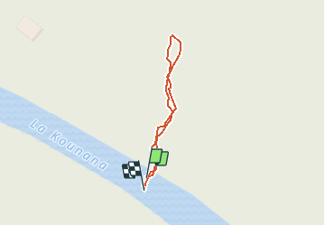

9.7 km | 10.9 km-effort


User


FREE GPS app for hiking
 SityTrail
IGN / Geographical institutes
SityTrail World
The world is yours!
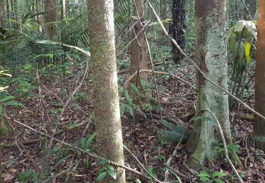
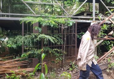
Trail Walking of 224 m to be discovered at French Guiana, Unknown, Roura. This trail is proposed by otierny.
Motorboat

Touring skiing

Motorboat