


St Quentin JJV

bstebe
User
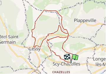

Length
10.7 km

Max alt
342 m

Uphill gradient
232 m
Km-Effort
13.8 km

Min alt
220 m

Downhill gradient
234 m
Boucle
Yes
Creation date :
2020-09-29 11:59:08.933
Updated on :
2020-09-29 15:16:35.696
2h43
Difficulty : Easy

FREE GPS app for hiking
 SityTrail
IGN / Geographical institutes
SityTrail Plus
The world is yours!
About
Trail Walking of 10.7 km to be discovered at Grand Est, Moselle, Scy-Chazelles. This trail is proposed by bstebe.
Positioning
Country:
France
Region :
Grand Est
Department/Province :
Moselle
Municipality :
Scy-Chazelles
Location:
Unknown
Start:(Dec)
Start:(UTM)
289612 ; 5444178 (32U) N.
Comments