


Vercors Port de Saint Gervais

c.gourme
User
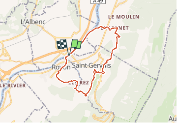

Length
14.9 km

Max alt
516 m

Uphill gradient
489 m
Km-Effort
21 km

Min alt
178 m

Downhill gradient
489 m
Boucle
Yes
Creation date :
2020-10-03 06:45:20.0
Updated on :
2020-10-03 13:03:50.786
5h14
Difficulty : Easy

FREE GPS app for hiking
 SityTrail
IGN / Geographical institutes
SityTrail Plus
The world is yours!
About
Trail Walking of 14.9 km to be discovered at Auvergne-Rhône-Alpes, Isère, Saint-Gervais. This trail is proposed by c.gourme.
Description
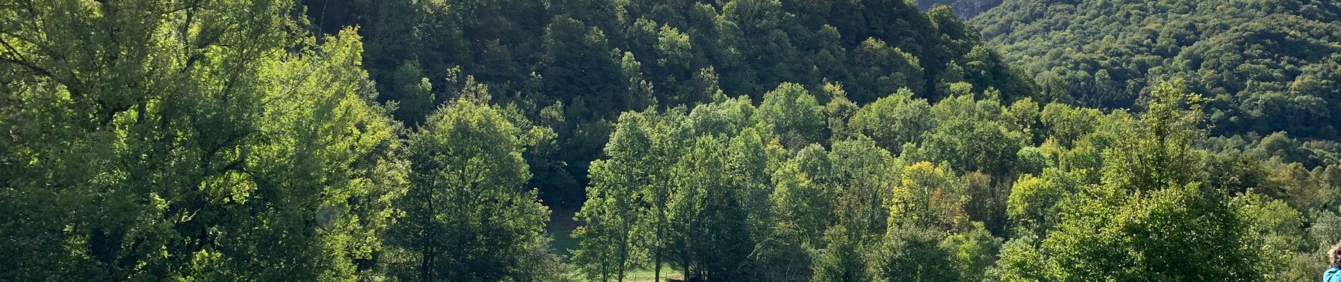
Jolis paysages de noyer attention en principe les gorges sont fermées aux piétons
Photos

Positioning
Country:
France
Region :
Auvergne-Rhône-Alpes
Department/Province :
Isère
Municipality :
Saint-Gervais
Location:
Unknown
Start:(Dec)
Start:(UTM)
693735 ; 5008934 (31T) N.
Comments