


loriol

aupi
User
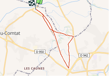

Length
7.1 km

Max alt
103 m

Uphill gradient
74 m
Km-Effort
8.1 km

Min alt
55 m

Downhill gradient
72 m
Boucle
Yes
Creation date :
2020-10-05 11:51:21.625
Updated on :
2020-10-05 14:13:46.449
1h54
Difficulty : Very easy

FREE GPS app for hiking
 SityTrail
IGN / Geographical institutes
SityTrail Plus
The world is yours!
About
Trail Walking of 7.1 km to be discovered at Provence-Alpes-Côte d'Azur, Vaucluse, Loriol-du-Comtat. This trail is proposed by aupi.
Description
tb
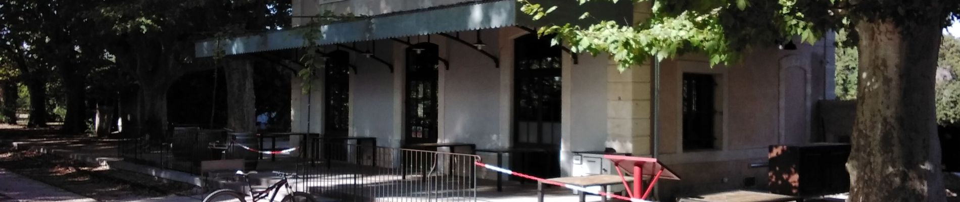
Photos


Positioning
Country:
France
Region :
Provence-Alpes-Côte d'Azur
Department/Province :
Vaucluse
Municipality :
Loriol-du-Comtat
Location:
Unknown
Start:(Dec)
Start:(UTM)
661658 ; 4883455 (31T) N.
Comments