


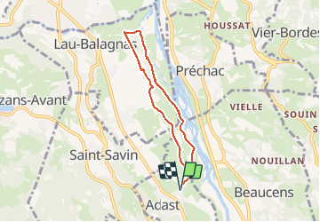

11.8 km | 20 km-effort

User GUIDE


FREE GPS app for hiking
 SityTrail
IGN / Geographical institutes
SityTrail World
The world is yours!
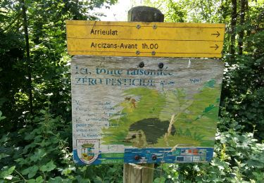
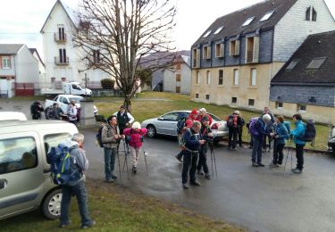
Trail Walking of 6.2 km to be discovered at Occitania, Hautespyrenees, Adast. This trail is proposed by marmotte65.
superbe balade facile a allonger ou raccourcir a volonté.


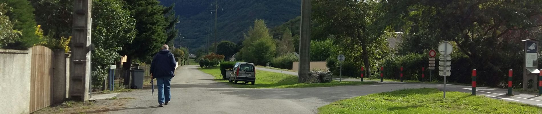
Walking

Electric bike
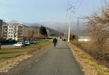
Walking
Walking
Walking
Walking

On foot
On foot

Walking