


20201007 Taradeau les Arcs 3

Sugg
User
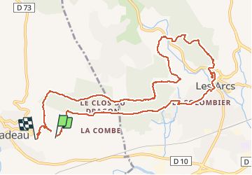

Length
13.1 km

Max alt
247 m

Uphill gradient
342 m
Km-Effort
17.7 km

Min alt
82 m

Downhill gradient
349 m
Boucle
No
Creation date :
2020-10-07 07:57:23.566
Updated on :
2020-10-07 13:59:51.495
6h01
Difficulty : Medium

FREE GPS app for hiking
 SityTrail
IGN / Geographical institutes
SityTrail Plus
The world is yours!
About
Trail Walking of 13.1 km to be discovered at Provence-Alpes-Côte d'Azur, Var, Taradeau. This trail is proposed by Sugg.
Description
rando Rf
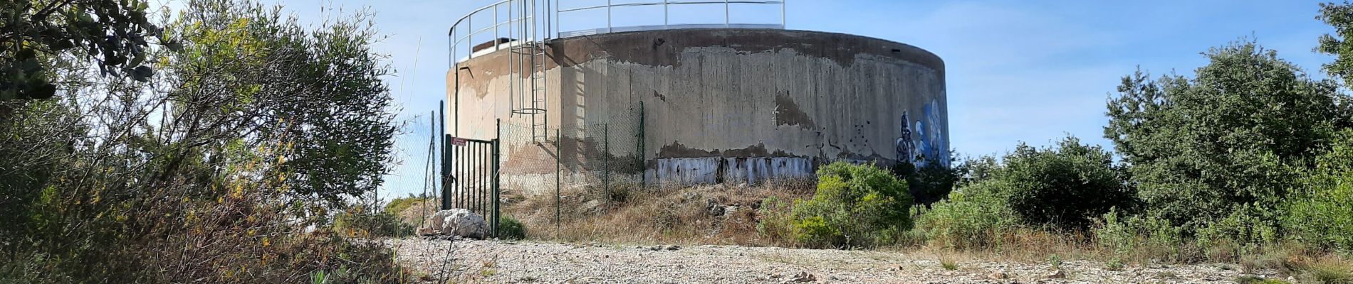
Photos


Positioning
Country:
France
Region :
Provence-Alpes-Côte d'Azur
Department/Province :
Var
Municipality :
Taradeau
Location:
Unknown
Start:(Dec)
Start:(UTM)
292824 ; 4814380 (32T) N.
Comments