


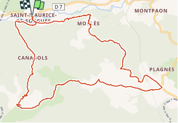
st Maurice de Sorgues

ZITO12
User


6h00
Difficulty : Easy

FREE GPS app for hiking
 SityTrail
IGN / Geographical institutes
SityTrail Plus
The world is yours!
About
Trail Walking of 15.6 km to be discovered at Occitania, Aveyron, Fondamente. This trail is proposed by ZITO12.
Description
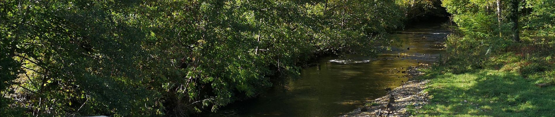
Chemins forestiers majoritaires. Montée facile dans les bois puis découverte du panorama sur la vallée de la Sorgues et le Levezou. Je suggère de zapper la partie en forme de pointe qui passe près de Tournadous en empruntant un chemin qui rejoint la bergerie de Peyre Fioc. En effet cette partie ne présente pas d'intérêt si ce n'est que rallonger la rando. Au niveau de la Bergerie de Camprouard descente raide et glissante par temps humide.
Photos


Positioning
Comments