


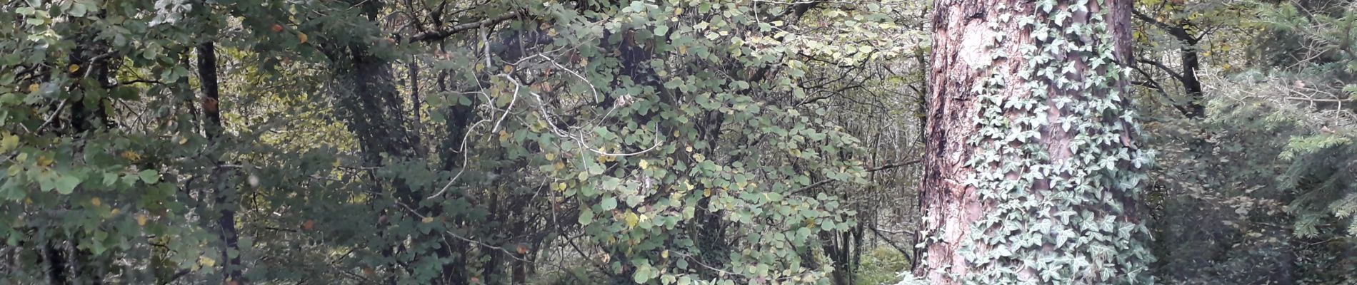
Bretagne 29 Huelgoat Rocher tremblant

ericf64
User
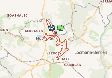

Length
14.2 km

Max alt
228 m

Uphill gradient
261 m
Km-Effort
17.7 km

Min alt
94 m

Downhill gradient
260 m
Boucle
Yes
Creation date :
2020-10-14 07:04:16.008
Updated on :
2020-10-15 07:42:47.169
5h25
Difficulty : Easy

FREE GPS app for hiking
 SityTrail
IGN / Geographical institutes
SityTrail Plus
The world is yours!
About
Trail Walking of 14.2 km to be discovered at Brittany, Finistère, Berrien. This trail is proposed by ericf64.
Photos

Positioning
Country:
France
Region :
Brittany
Department/Province :
Finistère
Municipality :
Berrien
Location:
Unknown
Start:(Dec)
Start:(UTM)
445636 ; 5357320 (30U) N.
Comments