


cotier

Renefrt
User

Length
8.4 km

Max alt
237 m

Uphill gradient
359 m
Km-Effort
12.5 km

Min alt
2 m

Downhill gradient
157 m
Boucle
No
Creation date :
2020-10-15 07:18:57.215
Updated on :
2020-10-18 14:10:57.318
3h10
Difficulty : Easy

FREE GPS app for hiking
 SityTrail
IGN / Geographical institutes
SityTrail Plus
The world is yours!
About
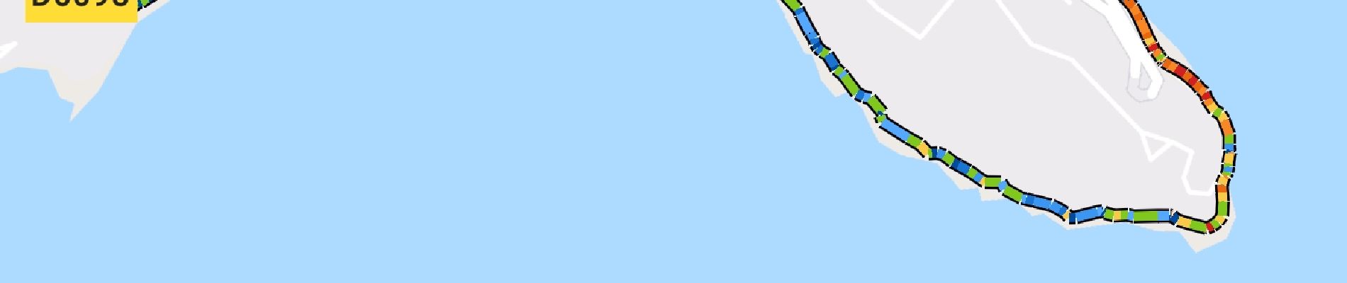
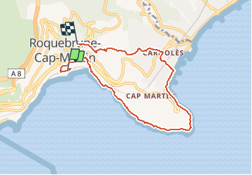
Trail Walking of 8.4 km to be discovered at Provence-Alpes-Côte d'Azur, Maritime Alps, Roquebrune-Cap-Martin. This trail is proposed by Renefrt.
Photos


Positioning
Country:
France
Region :
Provence-Alpes-Côte d'Azur
Department/Province :
Maritime Alps
Municipality :
Roquebrune-Cap-Martin
Location:
Unknown
Start:(Dec)
Start:(UTM)
375824 ; 4846404 (32T) N.
Comments
Perte du réseau Gps, manque toute la descente et la boucle sur Monaco (photo 1) soit environ 6km.