


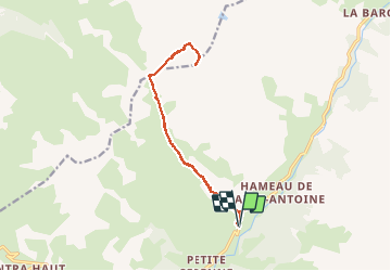
ubaye: depart parking le chatelet ,la mortice sud

gerardmicheline
User

Length
14 km

Max alt
3153 m

Uphill gradient
1589 m
Km-Effort
35 km

Min alt
1591 m

Downhill gradient
1582 m
Boucle
Yes
Creation date :
2020-10-15 14:25:16.119
Updated on :
2020-10-15 14:26:41.653
6h47
Difficulty : Very difficult

FREE GPS app for hiking
 SityTrail
IGN / Geographical institutes
SityTrail Plus
The world is yours!
About
Trail Walking of 14 km to be discovered at Provence-Alpes-Côte d'Azur, Alpes-de-Haute-Provence, Saint-Paul-sur-Ubaye. This trail is proposed by gerardmicheline.
Positioning
Country:
France
Region :
Provence-Alpes-Côte d'Azur
Department/Province :
Alpes-de-Haute-Provence
Municipality :
Saint-Paul-sur-Ubaye
Location:
Unknown
Start:(Dec)
Start:(UTM)
323871 ; 4933959 (32T) N.
Comments