Trail Walking Cussey-sur-l'Ognon - vallée de l'ognon Cussey - Photo
© OpenStreetMap contributors
Length
Length
9.3 km
Max alt
Max alt
265 m
Uphill gradient
Uphill gradient
119 m
Km-Effort
Km-Effort  
10.9 km
Min alt
Min alt
210 m
Downhill gradient
Downhill gradient
119 m
Boucle
Boucle
Yes
Creation date :
2020-10-16 07:49:35.204
Updated on :
2020-10-16 19:18:08.848

(0 Reviews)

Walking
Walking
1h27
Difficulty : Very easy

Scan this QR Code to open this trail in the SityTrail application

FREE GPS app for hiking

Logo SityTrail SityTrail

IGN / Geographical institutes

Download SityTrail from the App Store Download SityTrail from Google Play

Logo SityTrail SityTrail World

The world is yours!

Download SityTrail from the App Store Download SityTrail from Google Play Download SityTrail on Huawei AppGallery

About

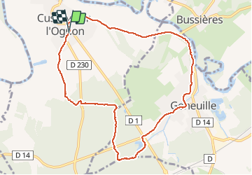
Trail Walking of 9.3 km to be discovered at Bourgogne-Franche-Comté, Doubs, Cussey-sur-l'Ognon. This trail is proposed by eltonnermou.

Description

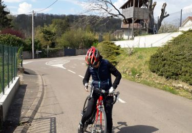
parking cimetière ; randonnée à demi pieds propres
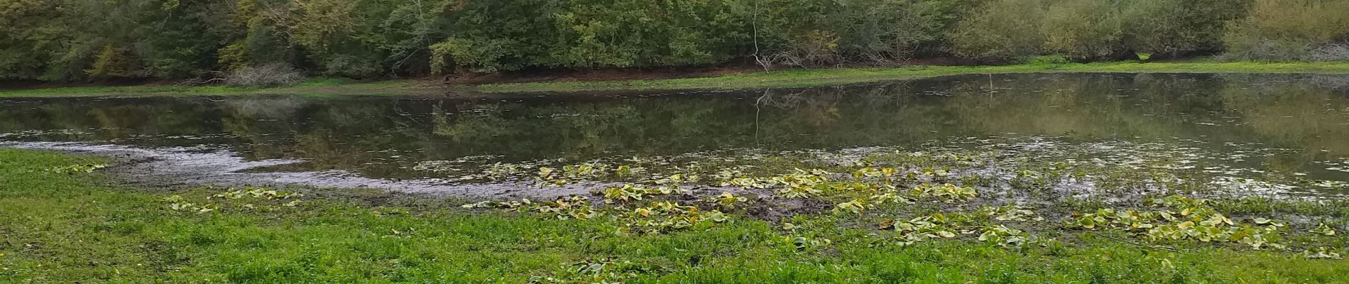
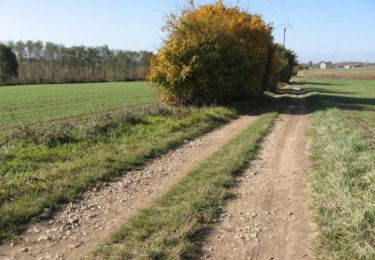
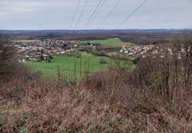
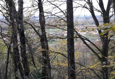
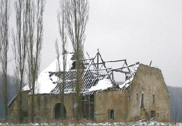
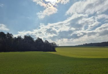
Très agréable première partie en forêt qui à cette saison prend ses couleurs automnales ; de belles demeures à voir dans les villages traversés.

Elevation profile

Photos

Positioning

Country:
France
Region :
Bourgogne-Franche-Comté
Department/Province :
Doubs
Municipality :
Cussey-sur-l'Ognon
Location:
Unknown
Start:(UTM)
722157 ; 5246619 (31T) N.

Trails nearby

Trail Walking Boulot - Circuit des hauts du Mont - Boulot - Photo
Walking
tracegps

Walking

Medium
Boulot, Bourgogne-Franche-Comté, Haute-Saône, France
7.9 km | 9.9 km-effort
2h 30min
Yes
Trail Mountain bike Cussey-sur-l'Ognon - De Breurey lès Faverney à Vignieu en VTT- Étape 2/6 - Photo
Mountain bike
tracegps

Mountain bike

Difficult
Cussey-sur-l'Ognon, Bourgogne-Franche-Comté, Doubs, France
81 km | 91 km-effort
7h 30min
No
Trail Walking Les Auxons - auxons 31 12 22 - Photo
Walking
micheleuvrard

Walking

Medium
Les Auxons, Bourgogne-Franche-Comté, Doubs, France
7.5 km | 10.1 km-effort
2h 13min
Yes
Trail Road bike Les Auxons - vel 19 04 - Photo
Road bike
micheleuvrard

Road bike

Difficult
Les Auxons, Bourgogne-Franche-Comté, Doubs, France
32 km | 37 km-effort
1h 57min
Yes
Trail Walking Moncley - Moncley  - Photo
Walking
legios84

Walking

Medium
Moncley, Bourgogne-Franche-Comté, Doubs, France
13.2 km | 15.7 km-effort
2h 43min
Yes
Trail Walking Les Auxons - 08 11 20 - Photo
Walking
micheleuvrard

Walking

Very easy
Les Auxons, Bourgogne-Franche-Comté, Doubs, France
7.3 km | 9 km-effort
1h 49min
Yes
Trail Mountain bike Montboillon - Espace VTT FFC des Monts de Gy - Circuit de Vauvenise - n° 59 - Photo
Mountain bike
tracegps

Mountain bike

Difficult
Montboillon, Bourgogne-Franche-Comté, Haute-Saône, France
21 km | 26 km-effort
1h 40min
Yes
Trail Walking Étuz - étuz  - Photo
Walking
MartinBraudThierry

Walking

Difficult
Étuz, Bourgogne-Franche-Comté, Haute-Saône, France
11.7 km | 14.1 km-effort
2h 59min
Yes
Trail Walking Châtillon-le-Duc - cayenne - Photo
Walking
Gmhlt5

Walking

Difficult
Châtillon-le-Duc, Bourgogne-Franche-Comté, Doubs, France
13.1 km | 15.6 km-effort
3h 22min
Yes


Close
My subscriptions