


Dôme de la Lauze

GOHIER
User

Length
9.1 km

Max alt
3546 m

Uphill gradient
838 m
Km-Effort
19.1 km

Min alt
3159 m

Downhill gradient
497 m
Boucle
No
Creation date :
2020-10-18 07:38:40.0
Updated on :
2020-10-18 13:08:26.483
5h11
Difficulty : Unknown

FREE GPS app for hiking
 SityTrail
IGN / Geographical institutes
SityTrail Plus
The world is yours!
About
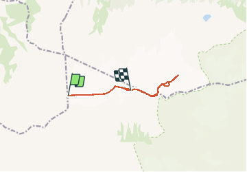
Trail Touring skiing of 9.1 km to be discovered at Auvergne-Rhône-Alpes, Isère, Saint-Christophe-en-Oisans. This trail is proposed by GOHIER.
Description
Manu et Patou, un 18 octobre à skis !
Positioning
Country:
France
Region :
Auvergne-Rhône-Alpes
Department/Province :
Isère
Municipality :
Saint-Christophe-en-Oisans
Location:
Unknown
Start:(Dec)
Start:(UTM)
279691 ; 4986385 (32T) N.
Comments