


Boucle Chaudefour Sancy

Orcal37
User GUIDE


Length
18.2 km

Max alt
1862 m

Uphill gradient
983 m
Km-Effort
31 km

Min alt
1145 m

Downhill gradient
983 m
Boucle
Yes
Creation date :
2014-12-10 00:00:00.0
Updated on :
2021-09-07 13:03:22.345
5h45
Difficulty : Difficult

FREE GPS app for hiking
 SityTrail
IGN / Geographical institutes
SityTrail Plus
The world is yours!
About
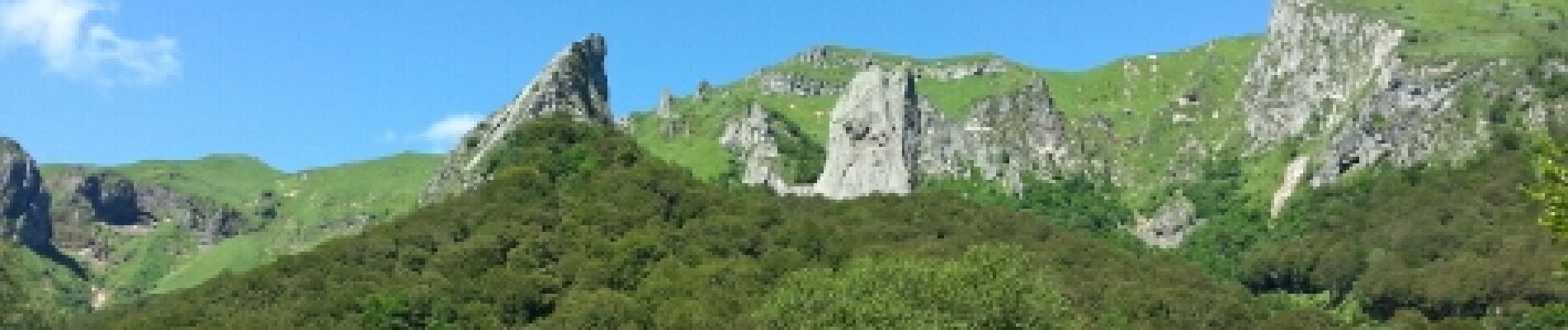
Trail Walking of 18.2 km to be discovered at Auvergne-Rhône-Alpes, Puy-de-Dôme, Chambon-sur-Lac. This trail is proposed by Orcal37.
Description
Boucle Vallée Chaudefour Puy Sancy 1050m 18km 5h30mn
Photos


Positioning
Country:
France
Region :
Auvergne-Rhône-Alpes
Department/Province :
Puy-de-Dôme
Municipality :
Chambon-sur-Lac
Location:
Unknown
Start:(Dec)
Start:(UTM)
488907 ; 5044795 (31T) N.
Comments