


z les 3 ruisseaux 20-10-20

cb8310
User
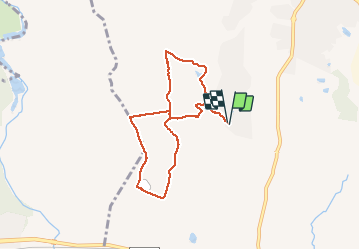

Length
7.4 km

Max alt
93 m

Uphill gradient
105 m
Km-Effort
8.8 km

Min alt
24 m

Downhill gradient
105 m
Boucle
Yes
Creation date :
2020-10-20 12:06:51.97
Updated on :
2020-10-21 07:05:16.116
2h33
Difficulty : Easy

FREE GPS app for hiking
 SityTrail
IGN / Geographical institutes
SityTrail Plus
The world is yours!
About
Trail Walking of 7.4 km to be discovered at Provence-Alpes-Côte d'Azur, Var, Roquebrune-sur-Argens. This trail is proposed by cb8310.
Description
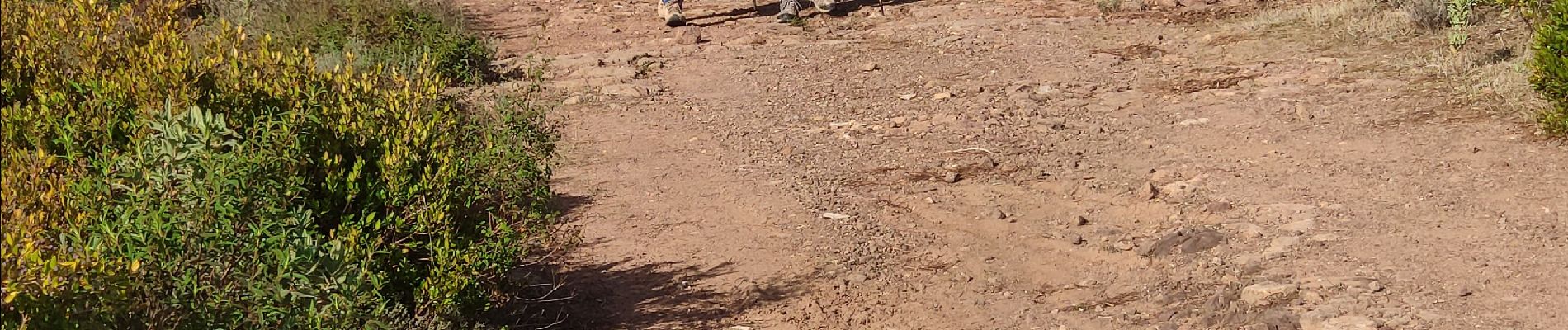
rando sans difficultés,si ce n'est un petit ruisseau à traverser au départ et de nombreux sentiers très caillouteux
Photos


Positioning
Country:
France
Region :
Provence-Alpes-Côte d'Azur
Department/Province :
Var
Municipality :
Roquebrune-sur-Argens
Location:
Unknown
Start:(Dec)
Start:(UTM)
308331 ; 4817134 (32T) N.
Comments