


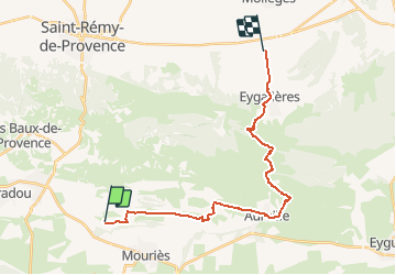

16.1 km | 22 km-effort


User


FREE GPS app for hiking
 SityTrail
IGN / Geographical institutes
SityTrail World
The world is yours!
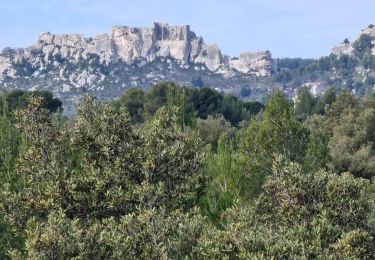
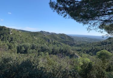
Trail Horseback riding of 23 km to be discovered at Provence-Alpes-Côte d'Azur, Bouches-du-Rhône, Maussane-les-Alpilles. This trail is proposed by AnaisLambert.
Pique-nique à Aureille

Walking
Walking
Walking

Walking

Electric bike
Walking


sport
Walking
Walking