Chaudefontaine

legios84
User
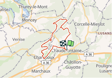

Length
13.9 km

Max alt
446 m

Uphill gradient
427 m
Km-Effort
19.6 km

Min alt
280 m

Downhill gradient
431 m
Boucle
Yes
Creation date :
2020-10-25 13:08:11.742
Updated on :
2020-10-25 16:50:52.613
2h59
Difficulty : Medium

FREE GPS app for hiking
 SityTrail
IGN / Geographical institutes
SityTrail Plus
The world is yours!
About
Trail Walking of 13.9 km to be discovered at Bourgogne-Franche-Comté, Doubs, Marchaux-Chaudefontaine. This trail is proposed by legios84.
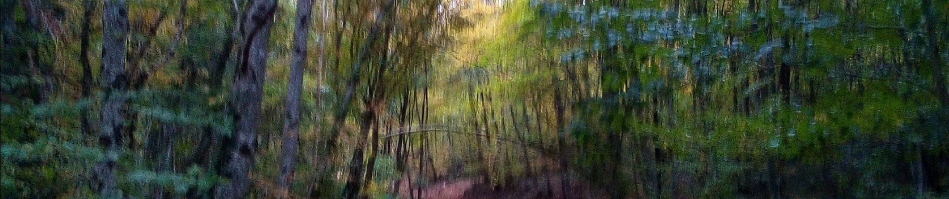
Photos


Positioning
Country:
France
Region :
Bourgogne-Franche-Comté
Department/Province :
Doubs
Municipality :
Marchaux-Chaudefontaine
Location:
Unknown
Start:(Dec)
Start:(UTM)
285561 ; 5246895 (32T) N.
Comments