


CHARVIEUX (BUGEY) (15 km - D. 609 m)

Thomasdanielle
User
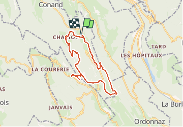

Length
14.8 km

Max alt
1019 m

Uphill gradient
609 m
Km-Effort
23 km

Min alt
564 m

Downhill gradient
608 m
Boucle
Yes
Creation date :
2020-10-28 08:51:12.0
Updated on :
2020-10-30 10:26:21.649
6h20
Difficulty : Medium

FREE GPS app for hiking
 SityTrail
IGN / Geographical institutes
SityTrail Plus
The world is yours!
About
Trail Walking of 14.8 km to be discovered at Auvergne-Rhône-Alpes, Ain, Conand. This trail is proposed by Thomasdanielle.
Description
D/A : Petit parking dans Charvieux (Le 27/10/2020)
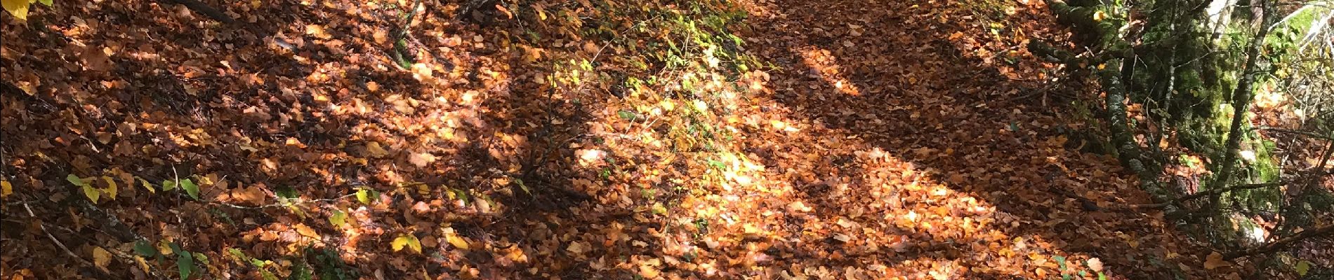
Randonnée jusqu'au Calvaire de portes
Magnifique randonnées en automne, pourrait être refaite en été
Photos
 (15 km - D. 609 m) - Photo 1")
Positioning
Country:
France
Region :
Auvergne-Rhône-Alpes
Department/Province :
Ain
Municipality :
Conand
Location:
Unknown
Start:(Dec)
Start:(UTM)
693471 ; 5083547 (31T) N.
Comments