Trail Walking Saint-Vit - St Vit le bois d'ambre  - Photo
© OpenStreetMap contributors
Length
Length
9.1 km
Max alt
Max alt
283 m
Uphill gradient
Uphill gradient
147 m
Km-Effort
Km-Effort  
11 km
Min alt
Min alt
213 m
Downhill gradient
Downhill gradient
149 m
Boucle
Boucle
Yes
Creation date :
2020-10-31 13:41:07.502
Updated on :
2020-10-31 17:28:11.677

(0 Reviews)

Walking
Walking
1h22
Difficulty : Very easy

Scan this QR Code to open this trail in the SityTrail application

FREE GPS app for hiking

Logo SityTrail SityTrail

IGN / Geographical institutes

Download SityTrail from the App Store Download SityTrail from Google Play

Logo SityTrail SityTrail World

The world is yours!

Download SityTrail from the App Store Download SityTrail from Google Play Download SityTrail on Huawei AppGallery

About

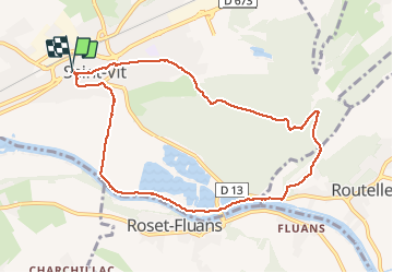
Trail Walking of 9.1 km to be discovered at Bourgogne-Franche-Comté, Doubs, Saint-Vit. This trail is proposed by eltonnermou.

Description

randonnée pieds propres,  parking champ de foire école Roussey.
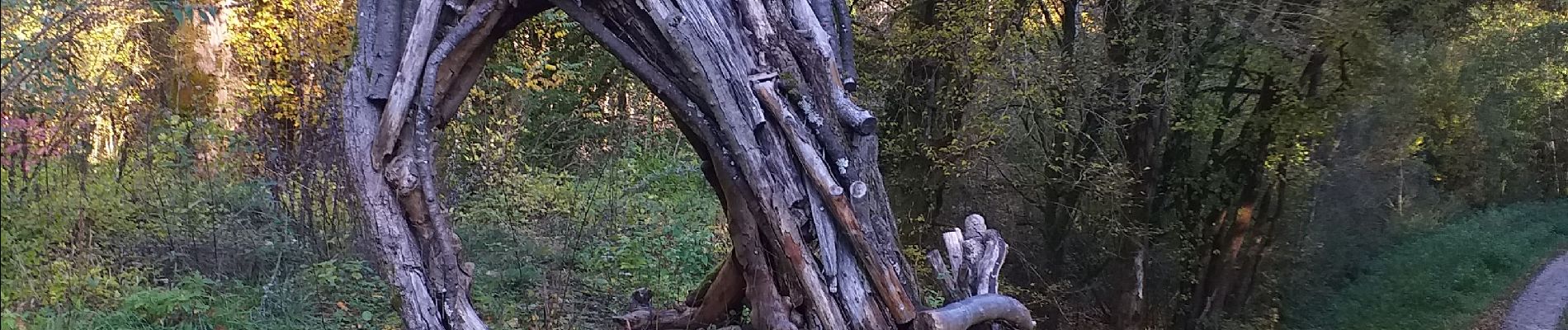
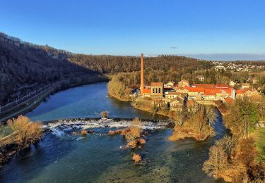
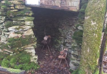
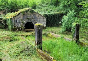
Randonnée à travers le bois d'Ambre, ses arbres remarquables, sa source des baraques ; sur sa partie finale entre le canal / le doubs et les sablières.
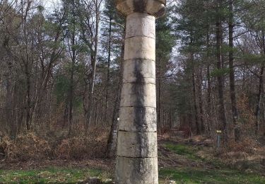
De belles demeures à regarder dans la traversée de St-Vit et la tour dans la rue qui porte ce nom.
Le confinement aidant (pas de chasse) j'ai pu observer 2 chevreuils, c'est le petit plus de cette rando.

Elevation profile

Photos

Positioning

Country:
France
Region :
Bourgogne-Franche-Comté
Department/Province :
Doubs
Municipality :
Saint-Vit
Location:
Unknown
Start:(UTM)
712632 ; 5229101 (31T) N.

Trails nearby

Trail On foot Osselle-Routelle - Sentier sur les Roches - Photo
On foot
PRO

On foot

Easy
Osselle-Routelle, Bourgogne-Franche-Comté, Doubs, France
7.6 km | 10.5 km-effort
2h 23min
Yes
Trail Walking Fraisans - fraisans  - Photo
Walking
eltonnermou

Walking

Difficult
(1)
Fraisans, Bourgogne-Franche-Comté, Jura, France
19.1 km | 23 km-effort
5h 6min
Yes
Trail Walking Saint-Vit - Saint vit-longtemps - Photo
Walking
eltonnermou

Walking

Easy
(1)
Saint-Vit, Bourgogne-Franche-Comté, Doubs, France
15.2 km | 18.5 km-effort
4h 12min
Yes
Trail Walking Ferrières-les-Bois - Ferrières les bois - Photo
Walking
eltonnermou

Walking

Easy
Ferrières-les-Bois, Bourgogne-Franche-Comté, Doubs, France
13 km | 16.6 km-effort
2h 25min
Yes
Trail On foot Osselle-Routelle - Sentier de la Fontaine des Baroques - Photo
On foot
PRO

On foot

Easy
Osselle-Routelle, Bourgogne-Franche-Comté, Doubs, France
6.4 km | 8.5 km-effort
1h 56min
Yes
Trail On foot Dampierre - Sentier des Mines - Photo
On foot
PRO

On foot

Easy
Dampierre, Bourgogne-Franche-Comté, Jura, France
3.8 km | 4.2 km-effort
57min
No
Trail Walking Pouilley-Français - Pouilley Français  - Photo
Walking
eltonnermou

Walking

Easy
Pouilley-Français, Bourgogne-Franche-Comté, Doubs, France
13.3 km | 16.5 km-effort
2h 2min
Yes
Trail Walking Ferrières-les-Bois - ferrières - Photo
Walking
MartinBraudThierry

Walking

Difficult
Ferrières-les-Bois, Bourgogne-Franche-Comté, Doubs, France
12.3 km | 15.9 km-effort
3h 8min
Yes
Trail Walking Ferrières-les-Bois - Ferrières les bois - Photo
Walking
legios84

Walking

Easy
Ferrières-les-Bois, Bourgogne-Franche-Comté, Doubs, France
21 km | 26 km-effort
4h 19min
Yes


Close
My subscriptions