


Pointe de l'Eyssina

gerardmicheline
User
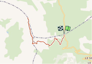

Length
8.9 km

Max alt
2807 m

Uphill gradient
706 m
Km-Effort
18.3 km

Min alt
2099 m

Downhill gradient
706 m
Boucle
Yes
Creation date :
2020-11-05 16:27:57.5
Updated on :
2020-11-05 16:30:49.903
3h37
Difficulty : Difficult

FREE GPS app for hiking
 SityTrail
IGN / Geographical institutes
SityTrail Plus
The world is yours!
About
Trail Walking of 8.9 km to be discovered at Provence-Alpes-Côte d'Azur, Hautes-Alpes, Vars. This trail is proposed by gerardmicheline.


Positioning
Country:
France
Region :
Provence-Alpes-Côte d'Azur
Department/Province :
Hautes-Alpes
Municipality :
Vars
Location:
Unknown
Start:(Dec)
Start:(UTM)
317482 ; 4934304 (32T) N.
Comments