


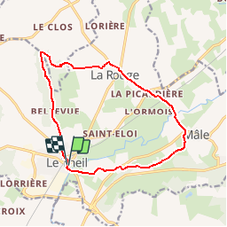

12.2 km | 15.6 km-effort


User


FREE GPS app for hiking
 SityTrail
IGN / Geographical institutes
SityTrail World
The world is yours!
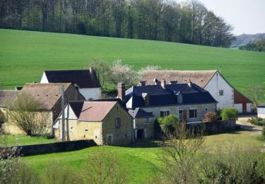
Trail Walking of 13.4 km to be discovered at Normandy, Orne, Val-au-Perche. This trail is proposed by ODDAD78.
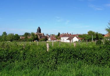
Les trois clochers du Theils à ne pas confondre avec ceux de Colonard Corubert

Walking
Walking
Walking
Walking
Walking
Walking
![Trail Walking Val-au-Perche - [Itinéraire] La forêt de Trahant - Photo](https://media.geolcdn.com/t/375/260/ext.jpg?maxdim=2&url=https%3A%2F%2Fstatic1.geolcdn.com%2Fsiteimages%2Fupload%2Ffiles%2F1553511878bg_sport_marche.png)
Walking
Walking
Walking