


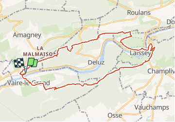
depart le pont de vaire ;rando covid

gerardmicheline
User

Length
21 km

Max alt
569 m

Uphill gradient
798 m
Km-Effort
31 km

Min alt
244 m

Downhill gradient
800 m
Boucle
Yes
Creation date :
2020-11-28 13:38:22.489
Updated on :
2020-11-28 13:39:24.946
6h29
Difficulty : Very difficult

FREE GPS app for hiking
 SityTrail
IGN / Geographical institutes
SityTrail Plus
The world is yours!
About
Trail Walking of 21 km to be discovered at Bourgogne-Franche-Comté, Doubs, Vaire. This trail is proposed by gerardmicheline.
Positioning
Country:
France
Region :
Bourgogne-Franche-Comté
Department/Province :
Doubs
Municipality :
Vaire
Location:
Vaire-le-Petit
Start:(Dec)
Start:(UTM)
284601 ; 5241020 (32T) N.
Comments