


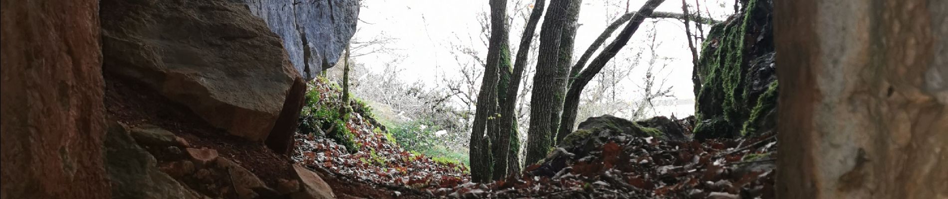
cave fromagere issis

lablaquiere
User
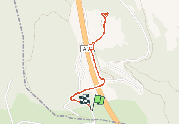

Length
2.2 km

Max alt
728 m

Uphill gradient
102 m
Km-Effort
3.6 km

Min alt
661 m

Downhill gradient
103 m
Boucle
Yes
Creation date :
2020-12-02 14:43:01.251
Updated on :
2020-12-02 15:14:48.902
31m
Difficulty : Very easy

FREE GPS app for hiking
 SityTrail
IGN / Geographical institutes
SityTrail Plus
The world is yours!
About
Trail Walking of 2.2 km to be discovered at Occitania, Aveyron, Creissels. This trail is proposed by lablaquiere.
Photos


Positioning
Country:
France
Region :
Occitania
Department/Province :
Aveyron
Municipality :
Creissels
Location:
Unknown
Start:(Dec)
Start:(UTM)
502067 ; 4878796 (31T) N.
Comments