


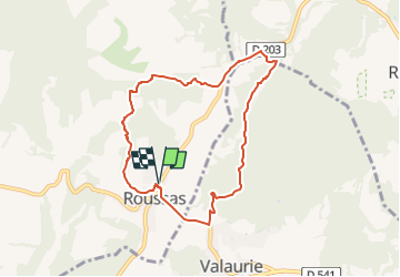

12.6 km | 16.6 km-effort

User


FREE GPS app for hiking
 SityTrail
IGN / Geographical institutes
SityTrail World
The world is yours!
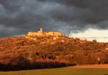
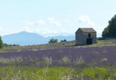
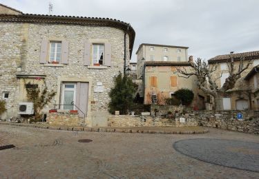
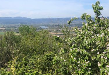
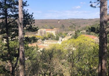
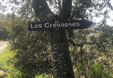
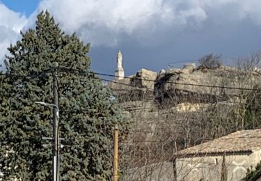
Trail Walking of 7.8 km to be discovered at Auvergne-Rhône-Alpes, Drôme, Roussas. This trail is proposed by chancha.


Walking
Walking
Walking
Walking
Walking
Walking
Walking
Walking
Walking
Ouah, super cette rando ! Si tu veux on pourrait randonner ensemble Signé: l'Inconnu des Champs