


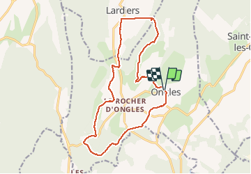
ONGLES Sentier de Seignes Lardiers Ongles o n

RobinMicheline
User GUIDE

Length
17.6 km

Max alt
848 m

Uphill gradient
366 m
Km-Effort
22 km

Min alt
584 m

Downhill gradient
366 m
Boucle
Yes
Creation date :
2020-12-07 07:03:02.669
Updated on :
2020-12-07 13:21:00.752
4h06
Difficulty : Medium

FREE GPS app for hiking
 SityTrail
IGN / Geographical institutes
SityTrail Plus
The world is yours!
About
Trail Walking of 17.6 km to be discovered at Provence-Alpes-Côte d'Azur, Alpes-de-Haute-Provence, Ongles. This trail is proposed by RobinMicheline.
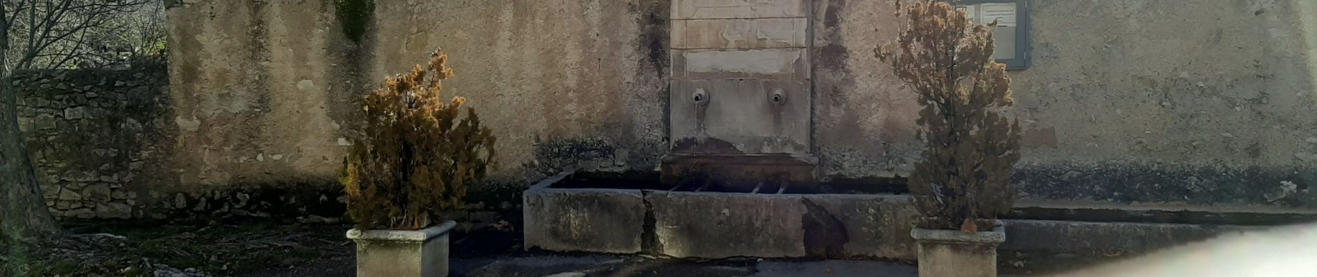
Photos


Positioning
Country:
France
Region :
Provence-Alpes-Côte d'Azur
Department/Province :
Alpes-de-Haute-Provence
Municipality :
Ongles
Location:
Unknown
Start:(Dec)
Start:(UTM)
719016 ; 4878618 (31T) N.
Comments