


Boucle Tapis vert - Anse Chalvet (SLNA)

Lamartiniere
User GUIDE
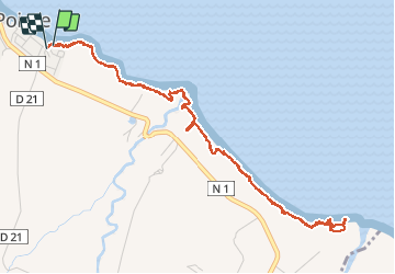

Length
8.3 km

Max alt
43 m

Uphill gradient
146 m
Km-Effort
10.2 km

Min alt
5 m

Downhill gradient
147 m
Boucle
Yes
Creation date :
2020-12-07 17:58:31.546
Updated on :
2020-12-07 20:29:28.338
2h03
Difficulty : Easy

FREE GPS app for hiking
 SityTrail
IGN / Geographical institutes
SityTrail Plus
The world is yours!
About
Trail Walking of 8.3 km to be discovered at Martinique, Unknown, Basse-Pointe. This trail is proposed by Lamartiniere.
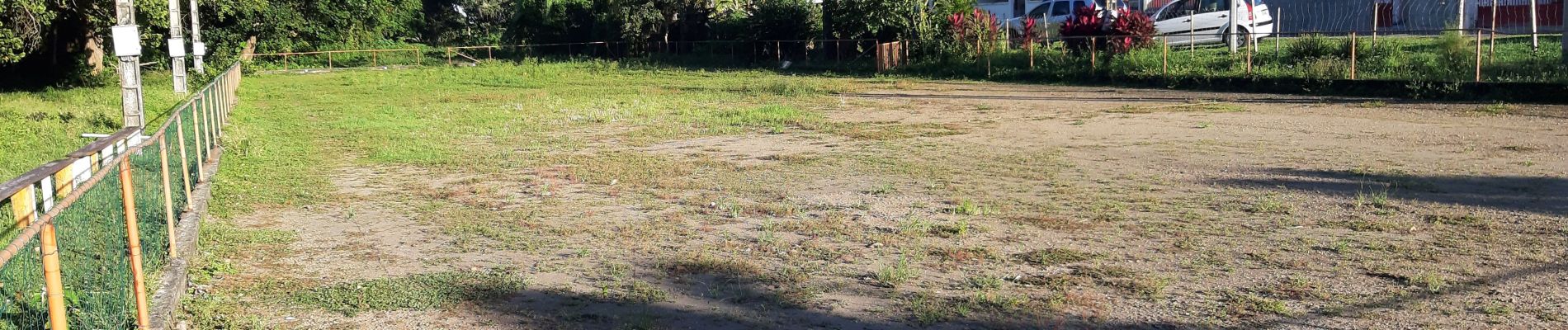
Photos
 - Photo 1")
 - Photo 2")
 - Photo 3")
 - Photo 4")
 - Photo 5")
 - Photo 6")
 - Photo 7")
 - Photo 8")
 - Photo 9")
 - Photo 10")
 - Photo 11")
 - Photo 12")
 - Photo 13")
 - Photo 14")
 - Photo 15")
 - Photo 16")
 - Photo 17")
Positioning
Country:
France
Region :
Martinique
Department/Province :
Unknown
Municipality :
Basse-Pointe
Location:
Unknown
Start:(Dec)
Start:(UTM)
703473 ; 1644407 (20P) N.
Comments