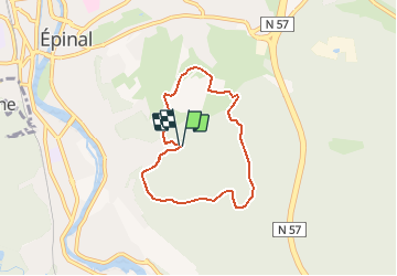

7.1 km | 7.8 km-effort


User


FREE GPS app for hiking
 SityTrail
IGN / Geographical institutes
SityTrail World
The world is yours!
Trail Walking of 5.8 km to be discovered at Grand Est, Vosges, Épinal. This trail is proposed by BernardHumeau.
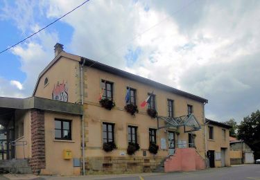
Parking du SPINAPARC.
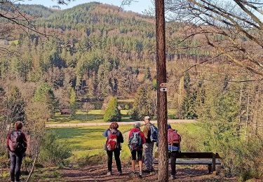
Petite rando d'environ 2 heures.
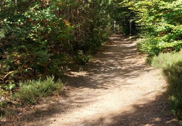
Première moitié en forêt avec une rude montée d'environ 160m sur 500m (c'est la seule difficulté de la rando) jusqu'à l'antenne télé.(immanquable!!!).
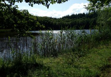
La deuxième moitié offre un beau panorama sur le site d'Epinal.


Walking
On foot
On foot
Walking
On foot

Road bike