


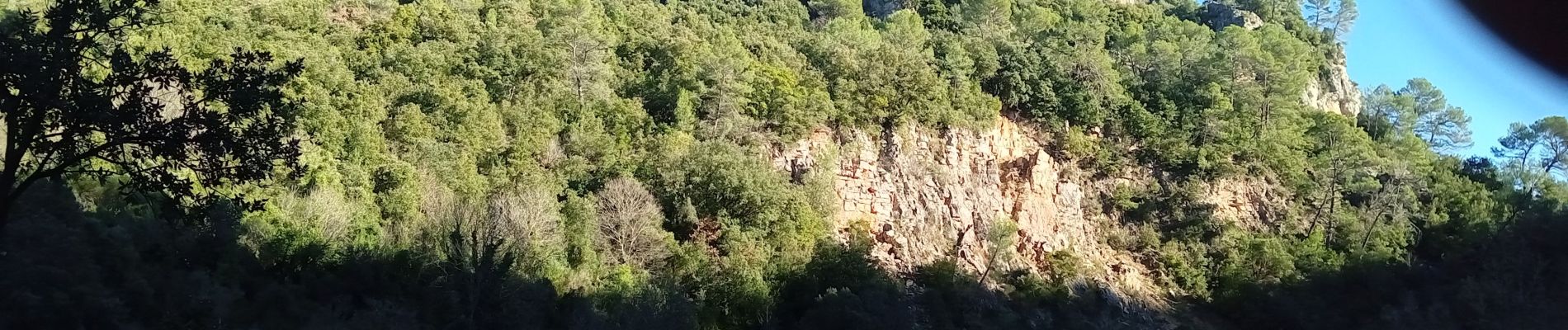
malmont chapelle st jean

vincente204
User
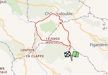

Length
15.6 km

Max alt
590 m

Uphill gradient
441 m
Km-Effort
21 km

Min alt
302 m

Downhill gradient
441 m
Boucle
Yes
Creation date :
2020-12-13 10:01:41.828
Updated on :
2020-12-13 15:03:06.936
4h38
Difficulty : Easy

FREE GPS app for hiking
 SityTrail
IGN / Geographical institutes
SityTrail Plus
The world is yours!
About
Trail Walking of 15.6 km to be discovered at Provence-Alpes-Côte d'Azur, Var, Draguignan. This trail is proposed by vincente204.
Description
facile
Photos


Positioning
Country:
France
Region :
Provence-Alpes-Côte d'Azur
Department/Province :
Var
Municipality :
Draguignan
Location:
Unknown
Start:(Dec)
Start:(UTM)
295317 ; 4825783 (32T) N.
Comments