


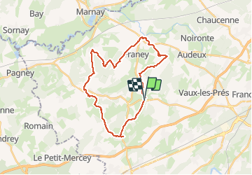
corcondray

eltonnermou
User


6h53
Difficulty : Very difficult

FREE GPS app for hiking
 SityTrail
IGN / Geographical institutes
SityTrail Plus
The world is yours!
About
Trail Walking of 25 km to be discovered at Bourgogne-Franche-Comté, Doubs, Corcondray. This trail is proposed by eltonnermou.
Description
parking église Corcondray
Après avoir dépassé Franey, sur le sentier et au début d'une descente (sur notre droite on aperçoit les maisons de Cordiron) ne pas hésiter à prendre le chemin sur la gauche, puis 300m plus loin le premier à droite, cela évite de faire un tout droit en lisière de bois à travers ronces et barbelé. La distance km ne varie que fort peu.
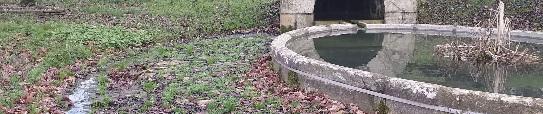
Ce parcours pédestre agréable vous emmènera à travers prairie et villages de la plaine du Doubs. Quelques curiosités (point de vue, bâtisse, lavoirs, fontaines ...) à regarder, observer le long du parcours.
Possibilité de profiter de la maison de chasse de Burgille (15' après le village).
Photos


Positioning
Comments