


flayosc font roux

vincente204
User
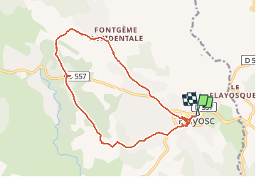

Length
9.5 km

Max alt
379 m

Uphill gradient
182 m
Km-Effort
12 km

Min alt
278 m

Downhill gradient
195 m
Boucle
Yes
Creation date :
2020-12-18 12:36:11.758
Updated on :
2020-12-18 15:05:02.193
2h28
Difficulty : Very easy

FREE GPS app for hiking
 SityTrail
IGN / Geographical institutes
SityTrail Plus
The world is yours!
About
Trail Walking of 9.5 km to be discovered at Provence-Alpes-Côte d'Azur, Var, Flayosc. This trail is proposed by vincente204.
Description
facile
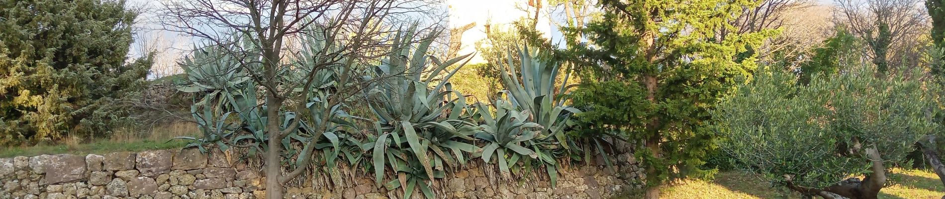
Photos

Positioning
Country:
France
Region :
Provence-Alpes-Côte d'Azur
Department/Province :
Var
Municipality :
Flayosc
Location:
Unknown
Start:(Dec)
Start:(UTM)
289751 ; 4823465 (32T) N.
Comments