


Le Thoronet- Canal de Ste Croix - Argens

francisdean
User
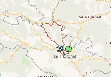

Length
11.3 km

Max alt
231 m

Uphill gradient
248 m
Km-Effort
14.6 km

Min alt
99 m

Downhill gradient
249 m
Boucle
Yes
Creation date :
2020-12-25 09:18:24.653
Updated on :
2020-12-25 15:32:06.166
3h00
Difficulty : Easy

FREE GPS app for hiking
 SityTrail
IGN / Geographical institutes
SityTrail Plus
The world is yours!
About
Trail Walking of 11.3 km to be discovered at Provence-Alpes-Côte d'Azur, Var, Le Thoronet. This trail is proposed by francisdean.
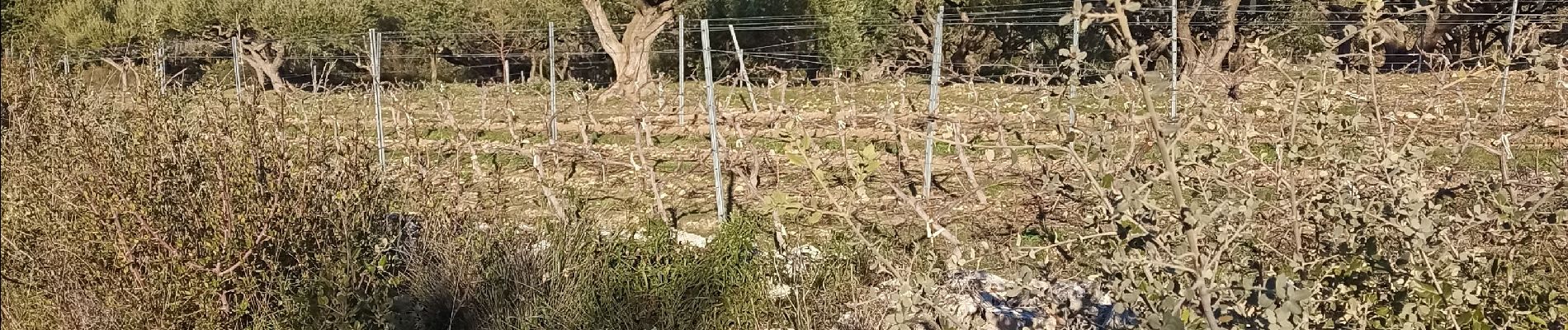
Photos


23 photos in total. Please click on a photo to see them all in the gallery.
Positioning
Country:
France
Region :
Provence-Alpes-Côte d'Azur
Department/Province :
Var
Municipality :
Le Thoronet
Location:
Unknown
Start:(Dec)
Start:(UTM)
281640 ; 4814632 (32T) N.
Comments
Belle rando