


Petergensfeld

benoitpiret
User
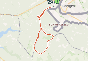

Length
14 km

Max alt
520 m

Uphill gradient
167 m
Km-Effort
16.2 km

Min alt
392 m

Downhill gradient
167 m
Boucle
Yes
Creation date :
2020-12-25 16:20:42.932
Updated on :
2020-12-26 18:35:52.964
3h33
Difficulty : Difficult

FREE GPS app for hiking
 SityTrail
IGN / Geographical institutes
SityTrail Plus
The world is yours!
About
Trail Walking of 14 km to be discovered at Wallonia, Liège, Raeren. This trail is proposed by benoitpiret.
Positioning
Country:
Belgium
Region :
Wallonia
Department/Province :
Liège
Municipality :
Raeren
Location:
Raeren
Start:(Dec)
Start:(UTM)
300340 ; 5614284 (32U) N.
Comments