


Mamer I

šarūnas
User
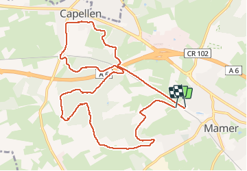

Length
11.3 km

Max alt
340 m

Uphill gradient
140 m
Km-Effort
13.2 km

Min alt
290 m

Downhill gradient
142 m
Boucle
Yes
Creation date :
2020-12-26 10:44:16.0
Updated on :
2020-12-26 13:26:13.422
2h04
Difficulty : Easy

FREE GPS app for hiking
 SityTrail
IGN / Geographical institutes
SityTrail Plus
The world is yours!
About
Trail Walking of 11.3 km to be discovered at Unknown, Canton Capellen, Mamer. This trail is proposed by šarūnas.
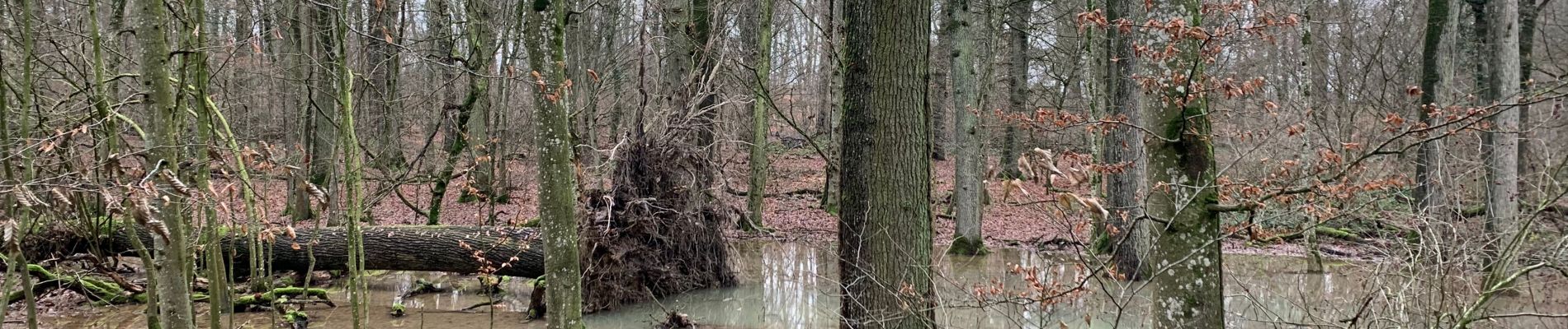
Photos


Positioning
Country:
Luxembourg
Region :
Unknown
Department/Province :
Canton Capellen
Municipality :
Mamer
Location:
Mamer
Start:(Dec)
Start:(UTM)
284208 ; 5501775 (32U) N.
Comments