


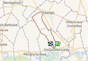

10.2 km | 11.5 km-effort


User


FREE GPS app for hiking
 SityTrail
IGN / Geographical institutes
SityTrail World
The world is yours!
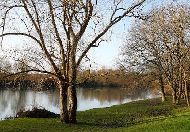
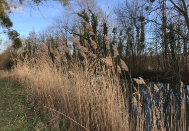
Trail Walking of 10.1 km to be discovered at Grand Est, Marne, Esclavolles-Lurey. This trail is proposed by Patrick Castagne.
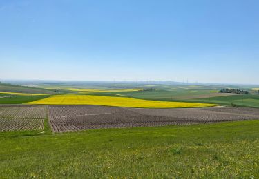
Balade dans les champs d'eoliennes
Walking

Walking
Walking
Walking
Walking
Walking

Walking
Walking
Walking