


Kalmthoutse Heide

Bart.Bervoets
User
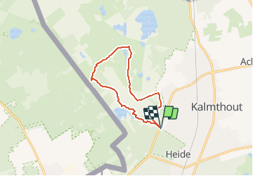

Length
9.6 km

Max alt
32 m

Uphill gradient
58 m
Km-Effort
10.4 km

Min alt
17 m

Downhill gradient
58 m
Boucle
Yes
Creation date :
2020-12-29 19:33:20.473
Updated on :
2021-01-03 22:04:39.38
2h20
Difficulty : Very easy

FREE GPS app for hiking
 SityTrail
IGN / Geographical institutes
SityTrail Plus
The world is yours!
About
Trail Walking of 9.6 km to be discovered at Flanders, Antwerp, Kalmthout. This trail is proposed by Bart.Bervoets.
Description
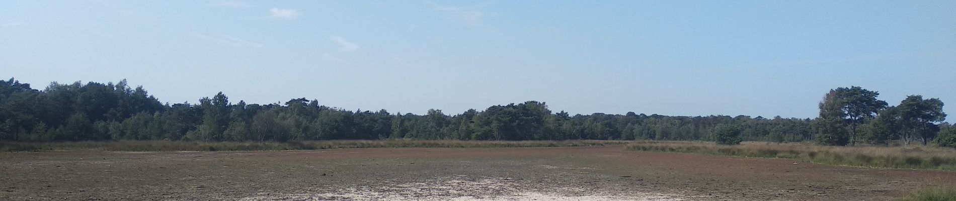
Heidegebied met de typische vennen.
Vertrek en aankomst : parking de Vroente
Photos


Positioning
Country:
Belgium
Region :
Flanders
Department/Province :
Antwerp
Municipality :
Kalmthout
Location:
Kalmthout
Start:(Dec)
Start:(UTM)
600863 ; 5692703 (31U) N.
Comments