Trail Walking Longpont - en forêt de Retz_23_Longpont_carrefour Alexandre Dumas_AR - Photo

en forêt de Retz_23_Longpont_carrefour Alexandre Dumas_AR

forêts de France

© OpenStreetMap contributors
Length
Length
19.4 km
Max alt
Max alt
182 m
Uphill gradient
Uphill gradient
344 m
Km-Effort
Km-Effort  
24 km
Min alt
Min alt
86 m
Downhill gradient
Downhill gradient
344 m
Boucle
Boucle
Yes
Creation date :
2019-01-03 11:02:02.406
Updated on :
2020-11-08 11:05:39.798

(0 Reviews)

Walking
Walking
5h09
Difficulty : Very difficult

Scan this QR Code to open this trail in the SityTrail application

FREE GPS app for hiking

Logo SityTrail SityTrail

IGN / Geographical institutes

Download SityTrail from the App Store Download SityTrail from Google Play

Logo SityTrail SityTrail World

The world is yours!

Download SityTrail from the App Store Download SityTrail from Google Play Download SityTrail on Huawei AppGallery

About

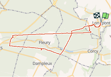
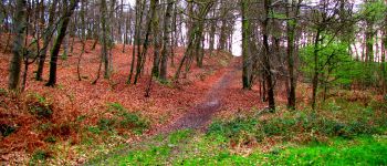
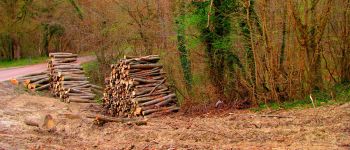
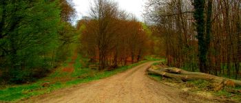
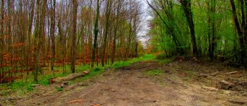
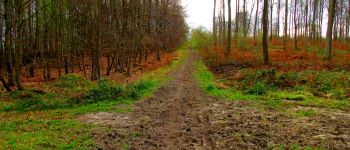
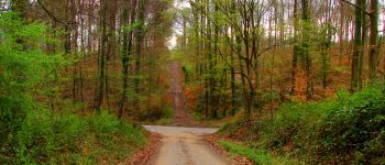
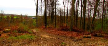
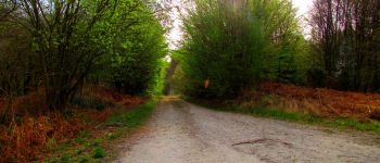
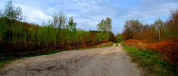
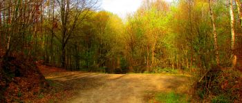
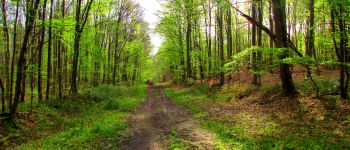
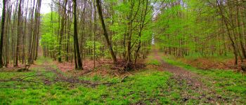
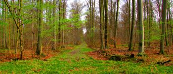
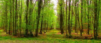
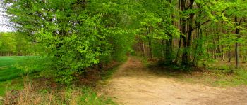
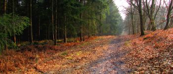
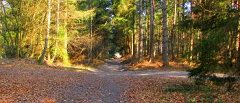
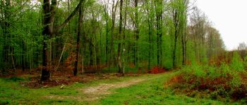
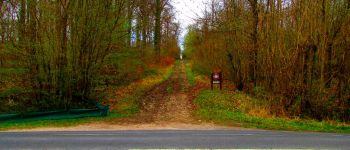
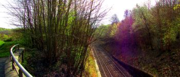
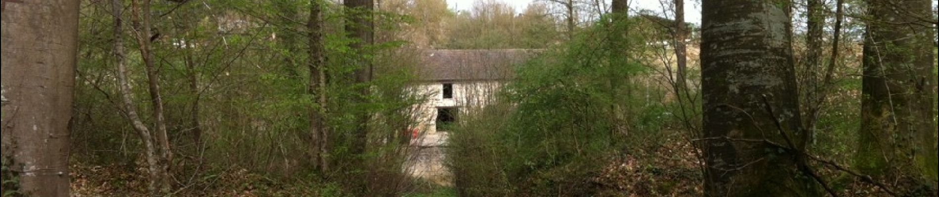
Trail Walking of 19.4 km to be discovered at Hauts-de-France, Aisne, Longpont. This trail is proposed by en forêt de Retz.

Description

voir aussi:
http://foret-de-retz.over-blog.com/

04/ 2014

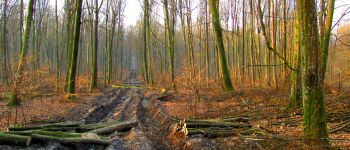
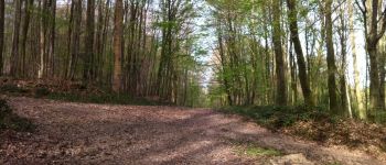
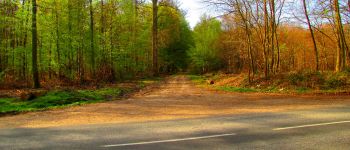
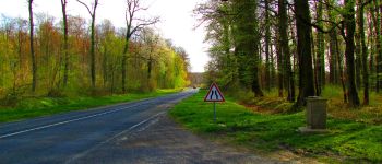
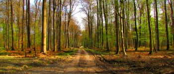
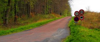
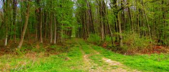
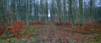
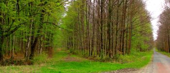
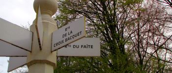
A partir de l'abbaye de Longpont, prendre le GR11A "aux trois maisons". Rejoindre le vieux chemin de Longpont et continuer jusqu'au carrefour de Vieville. Prendre à gauche la route droite et continuer jusqu'à l'étang de la petite Ramée. Traverser la D80 et continuer la route droite en montant jusqu'au carrefour des Cornillards. Prendre à droite la route de Hautwison jusqu'au carrefour de la Grotte. Prendre à droite la route Tortue, traverser la D80 et rejoindre la D231 au carrefour de la plaine Luguet. Suivre la D231 à droite puis prendre à gauche après le pont de chemin de fer et rejoindre le carrefour d'Alexandre Dumas. Prendre à droite,traverser la D231 et suivre la route du Pendu jusqu'au carrefour de la Croix Bacquet. Prendre le vieux chemin de Longpont sur quelques centaines de mètres et suivre à droite la route du Pendu jusqu'au carrefour du Pendu. Rejoindre la laie du Vieux Mur (GPS conseillé). La laie du vieux Mur est actuellement très difficile à pratiquer à cause d'ornières laissées par les engins des forestiers. Après quelques centaines de mètres, rejoindre le GR11A pour rentrer à Longpont.

Elevation profile

Photos

Points of interest

Point of interest Montgobert - Point 2 - Photo
JeanLucA4
MONTGOBERT 
Point of interest Montgobert - Point 3 - Photo
JeanLucA4
MONTGOBERT 
Point of interest Montgobert - Point 4 - Photo
JeanLucA4
MONTGOBERT 
Point of interest Montgobert - Point 5 - Photo
JeanLucA4
MONTGOBERT 
Point of interest Montgobert - Point 6 - Photo
JeanLucA4
MONTGOBERT 
Point of interest Montgobert - Point 7 - Photo
JeanLucA4
MONTGOBERT 
Point of interest Corcy - Point 8 - Photo
JeanLucA4
CORCY 
Point of interest Corcy - Point 9 - Photo
JeanLucA4
CORCY 
Point of interest Corcy - Point 10 - Photo
JeanLucA4
CORCY 
Point of interest Fleury - Point 12 - Photo
JeanLucA4
FLEURY 
Point of interest Dampleux - Point 13 - Photo
JeanLucA4
DAMPLEUX 
Point of interest Dampleux - Point 14 - Photo
JeanLucA4
DAMPLEUX 
Point of interest Dampleux - Point 15 - Photo
JeanLucA4
DAMPLEUX 
Point of interest Dampleux - Point 16 - Photo
JeanLucA4
DAMPLEUX 
Point of interest Dampleux - Point 17 - Photo
JeanLucA4
DAMPLEUX 
Point of interest Dampleux - Point 18 - Photo
JeanLucA4
DAMPLEUX 
Point of interest Dampleux - Point 19 - Photo
JeanLucA4
DAMPLEUX 
Point of interest Dampleux - Point 20 - Photo
JeanLucA4
DAMPLEUX 
Point of interest Fleury - Point 21 - Photo
JeanLucA4
FLEURY 
Point of interest Villers-Cotterêts - Point 22 - Photo
JeanLucA4
VILLERS-COTTERÊTS 
Point of interest Villers-Cotterêts - Point 23 - Photo
JeanLucA4
VILLERS-COTTERÊTS 
Point of interest Villers-Cotterêts - Point 24 - Photo
JeanLucA4
VILLERS-COTTERÊTS 
Point of interest Villers-Cotterêts - Point 25 - Photo
JeanLucA4
VILLERS-COTTERÊTS 
Point of interest Villers-Cotterêts - Point 27 - Photo
JeanLucA4
VILLERS-COTTERÊTS 
Point of interest Villers-Cotterêts - Point 28 - Photo
JeanLucA4
VILLERS-COTTERÊTS 
Point of interest Villers-Cotterêts - Point 29 - Photo
JeanLucA4
VILLERS-COTTERÊTS 
Point of interest Villers-Cotterêts - Point 30 - Photo
JeanLucA4
VILLERS-COTTERÊTS 
Point of interest Villers-Cotterêts - Point 31 - Photo
JeanLucA4
VILLERS-COTTERÊTS 
Point of interest Fleury - Point 32 - Photo
JeanLucA4
FLEURY 
Point of interest Fleury - Point 33 - Photo
JeanLucA4
FLEURY 
Point of interest Fleury - Point 34 - Photo
JeanLucA4
FLEURY 
Point of interest Montgobert - Point 35 - Photo
JeanLucA4
MONTGOBERT 
Point of interest Montgobert - Point 36 - Photo
JeanLucA4
MONTGOBERT 
Point of interest Montgobert - Point 37 - Photo
JeanLucA4
MONTGOBERT 
Point of interest Montgobert - Point 38 - Photo
JeanLucA4
MONTGOBERT 
Point of interest Montgobert - Point 39 - Photo
JeanLucA4
MONTGOBERT 
Point of interest Longpont - Point 1 - Photo
JeanLucA4
LONGPONT 
Point of interest Longpont - arrivée - Photo
JeanLucA4
LONGPONT 
Point of interest Corcy - Point 11 - Photo
JeanLucA4
CORCY 
Point of interest Villers-Cotterêts - Point 26 - Photo
JeanLucA4
VILLERS-COTTERÊTS 

Positioning

Country:
France
Region :
Hauts-de-France
Department/Province :
Aisne
Municipality :
Longpont
Location:
Unknown
Start:(UTM)
516007 ; 5457835 (31U) N.

Trails nearby

Trail Walking Longpont - en forêt de Retz_19_Longpont_carrefour de Vauvaudran_AR - Photo
Walking

Walking

Medium
(1)
Longpont, Hauts-de-France, Aisne, France
17.5 km | 21 km-effort
4h 10min
Yes
Trail Walking Corcy - FLEURY .AISNE  - Photo
Walking
TURLUPIN2010

Walking

Medium
Corcy, Hauts-de-France, Aisne, France
5.7 km | 7.9 km-effort
1h 25min
Yes
Trail Walking Corcy - en forêt de Retz_91_04_2022_la Laie de la Belle Epine - Photo
Walking

Walking

Difficult
Corcy, Hauts-de-France, Aisne, France
10.6 km | 13.3 km-effort
3h 32min
Yes
Trail On foot Puiseux-en-Retz - Route du Faîte - Photo
On foot
PRO

On foot

Easy
Puiseux-en-Retz, Hauts-de-France, Aisne, France
5.8 km | 7.1 km-effort
1h 37min
No
Trail On foot Longpont - en forêt de Retz_22_Longpont_Rond d'Orléans_AR - Photo
On foot

On foot

Medium
Longpont, Hauts-de-France, Aisne, France
14.6 km | 17.5 km-effort
Unknown
Yes
Trail Walking Montgobert - en forêt de Retz_83_les Champs Mentard_le Fond d'Argent - Photo
Walking

Walking

Medium
Montgobert, Hauts-de-France, Aisne, France
13.6 km | 16.2 km-effort
3h 46min
Yes
Trail Walking Longpont - en forêt de Retz_77_Longpont_Puiseux en Retz_AR - Photo
Walking

Walking

Difficult
Longpont, Hauts-de-France, Aisne, France
22 km | 27 km-effort
6h 4min
Yes
Trail Walking Montgobert - en forêt de Retz_75_promenade familiale tout temps - Photo
Walking

Walking

Very easy
Montgobert, Hauts-de-France, Aisne, France
3.9 km | 4.7 km-effort
1h 25min
Yes
Trail Walking Longpont - en forêt de Retz_73_ballade (5) en toute saison - Photo
Walking

Walking

Easy
Longpont, Hauts-de-France, Aisne, France
9.1 km | 10.8 km-effort
2h 6min
Yes


Close
My subscriptions