


merdaret

lionelnottat
User

Length
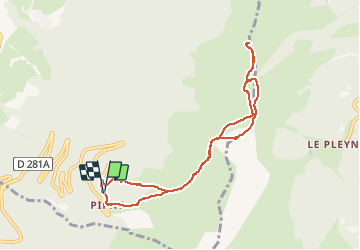
8.8 km

Max alt
1925 m

Uphill gradient
493 m
Km-Effort
15.4 km

Min alt
1573 m

Downhill gradient
498 m
Boucle
Yes
Creation date :
2021-01-05 08:19:17.231
Updated on :
2021-01-05 13:28:14.667
5h08
Difficulty : Very easy

FREE GPS app for hiking
 SityTrail
IGN / Geographical institutes
SityTrail Plus
The world is yours!
About
Trail Snowshoes of 8.8 km to be discovered at Auvergne-Rhône-Alpes, Isère, Theys. This trail is proposed by lionelnottat.
Positioning
Country:
France
Region :
Auvergne-Rhône-Alpes
Department/Province :
Isère
Municipality :
Theys
Location:
Unknown
Start:(Dec)
Start:(UTM)
265850 ; 5016892 (32T) N.
Comments