


Canteleu hs

Childebert
User

Length
19 km

Max alt
150 m

Uphill gradient
189 m
Km-Effort
22 km

Min alt
1 m

Downhill gradient
286 m
Boucle
No
Creation date :
2021-01-08 13:18:08.314
Updated on :
2021-01-08 18:10:36.073
4h09
Difficulty : Easy

FREE GPS app for hiking
 SityTrail
IGN / Geographical institutes
SityTrail Plus
The world is yours!
About
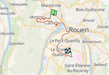
Trail Walking of 19 km to be discovered at Normandy, Seine-Maritime, Canteleu. This trail is proposed by Childebert.
Positioning
Country:
France
Region :
Normandy
Department/Province :
Seine-Maritime
Municipality :
Canteleu
Location:
Unknown
Start:(Dec)
Start:(UTM)
357088 ; 5479968 (31U) N.
Comments