


Fond grand ma Modette

sameja
User
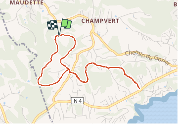

Length
7 km

Max alt
70 m

Uphill gradient
163 m
Km-Effort
9.1 km

Min alt
14 m

Downhill gradient
165 m
Boucle
Yes
Creation date :
2021-01-11 11:58:56.0
Updated on :
2021-01-11 13:05:20.157
1h05
Difficulty : Medium

FREE GPS app for hiking
 SityTrail
IGN / Geographical institutes
SityTrail Plus
The world is yours!
About
Trail Trail of 7 km to be discovered at Guadeloupe, Unknown, Sainte-Anne. This trail is proposed by sameja.
Description
Centre de trie st Anne
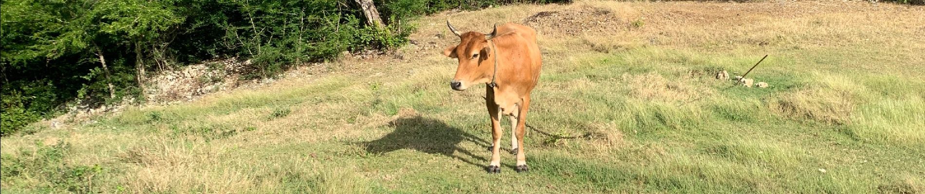
Photos


Positioning
Country:
France
Region :
Guadeloupe
Department/Province :
Unknown
Municipality :
Sainte-Anne
Location:
Unknown
Start:(Dec)
Start:(UTM)
668919 ; 1794893 (20Q) N.
Comments