


glacier de la selle

Evelyne et Francois
User

Length
18.4 km

Max alt
2912 m

Uphill gradient
1290 m
Km-Effort
36 km

Min alt
1637 m

Downhill gradient
1291 m
Boucle
Yes
Creation date :
2021-01-11 17:59:45.075
Updated on :
2021-01-11 18:02:12.697
7h00
Difficulty : Easy

FREE GPS app for hiking
 SityTrail
IGN / Geographical institutes
SityTrail Plus
The world is yours!
About
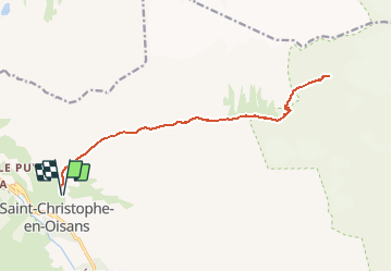
Trail On foot of 18.4 km to be discovered at Auvergne-Rhône-Alpes, Isère, Saint-Christophe-en-Oisans. This trail is proposed by Evelyne et Francois.
Description
montée au glacier de la Selle par le refuge
Positioning
Country:
France
Region :
Auvergne-Rhône-Alpes
Department/Province :
Isère
Municipality :
Saint-Christophe-en-Oisans
Location:
Unknown
Start:(Dec)
Start:(UTM)
277476 ; 4982667 (32T) N.
Comments