


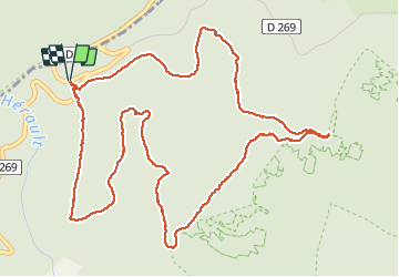


15 km | 22 km-effort


User


FREE GPS app for hiking
 SityTrail
IGN / Geographical institutes
SityTrail World
The world is yours!
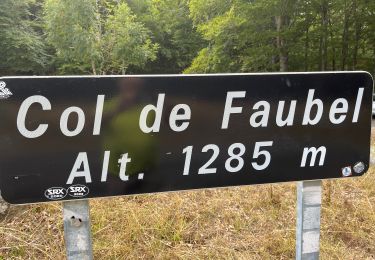
Trail Snowshoes of 7.2 km to be discovered at Occitania, Gard, Val-d'Aigoual. This trail is proposed by JEANJOSY.
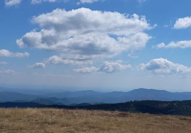
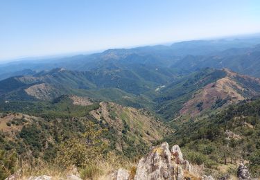
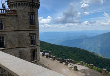
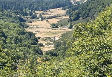
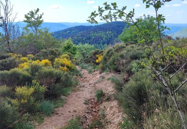
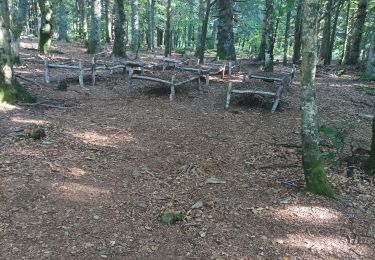
Circuit sous les arbres. De beaux points de vue sur le Mont Aigual
Walking
Walking

Walking
Walking
Walking
Walking
Walking
Walking
Walking