


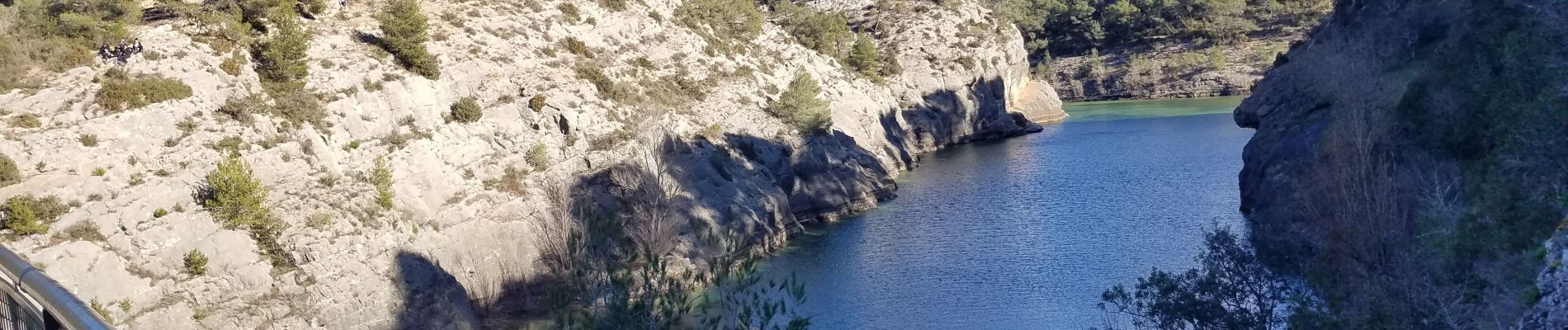
Barrages Bimont-Zola-Romain

Berpav
User


Length
11 km

Max alt
374 m

Uphill gradient
382 m
Km-Effort
16.1 km

Min alt
191 m

Downhill gradient
387 m
Boucle
Yes
Creation date :
2021-01-18 15:06:09.459
Updated on :
2021-01-18 15:50:12.815
3h39
Difficulty : Difficult

FREE GPS app for hiking
 SityTrail
IGN / Geographical institutes
SityTrail Plus
The world is yours!
About
Trail Walking of 11 km to be discovered at Provence-Alpes-Côte d'Azur, Bouches-du-Rhône, Saint-Marc-Jaumegarde. This trail is proposed by Berpav.
Description
En passant par le moulin de Cezanne.
Photos

Positioning
Country:
France
Region :
Provence-Alpes-Côte d'Azur
Department/Province :
Bouches-du-Rhône
Municipality :
Saint-Marc-Jaumegarde
Location:
Unknown
Start:(Dec)
Start:(UTM)
704564 ; 4824022 (31T) N.
Comments