


Autour de Montauger 2

dmatignon
User


Length
10 km

Max alt
86 m

Uphill gradient
105 m
Km-Effort
11.4 km

Min alt
44 m

Downhill gradient
104 m
Boucle
Yes
Creation date :
2021-01-20 12:56:04.02
Updated on :
2021-09-29 09:14:12.799
2h05
Difficulty : Very easy

FREE GPS app for hiking
 SityTrail
IGN / Geographical institutes
SityTrail Plus
The world is yours!
About
Trail Walking of 10 km to be discovered at Ile-de-France, Essonne, Lisses. This trail is proposed by dmatignon.
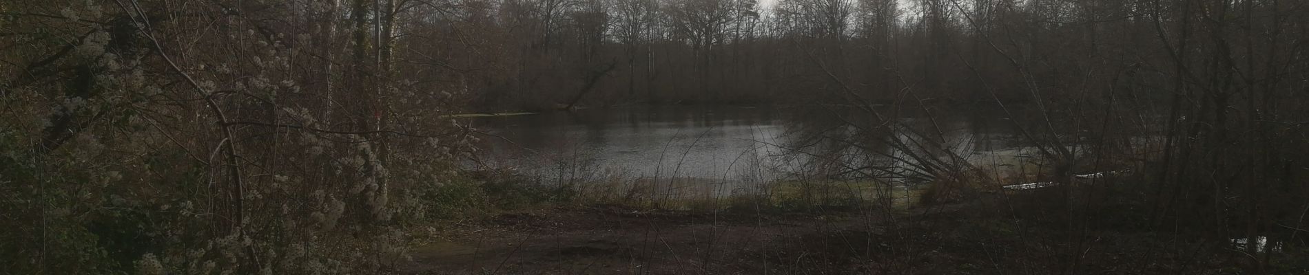
Photos


Positioning
Country:
France
Region :
Ile-de-France
Department/Province :
Essonne
Municipality :
Lisses
Location:
Unknown
Start:(Dec)
Start:(UTM)
458187 ; 5380776 (31U) N.
Comments