


sentier des bogues proposition

flux99
User
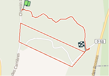

Length
1.6 km

Max alt
290 m

Uphill gradient
21 m
Km-Effort
1.8 km

Min alt
269 m

Downhill gradient
22 m
Boucle
No
Creation date :
2021-01-22 09:32:34.919
Updated on :
2021-01-23 10:50:40.328
14m
Difficulty : Very easy

FREE GPS app for hiking
 SityTrail
IGN / Geographical institutes
SityTrail Plus
The world is yours!
About
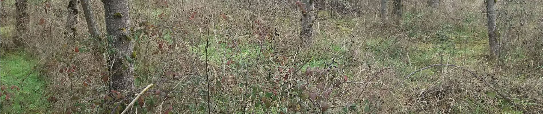
Trail Walking of 1.6 km to be discovered at Auvergne-Rhône-Alpes, Isère, Parmilieu. This trail is proposed by flux99.
Photos

Positioning
Country:
France
Region :
Auvergne-Rhône-Alpes
Department/Province :
Isère
Municipality :
Parmilieu
Location:
Unknown
Start:(Dec)
Start:(UTM)
682285 ; 5077224 (31T) N.
Comments