


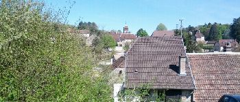
Saligney - Mont de Vassange

albert39
User


2h37
Difficulty : Difficult

FREE GPS app for hiking
 SityTrail
IGN / Geographical institutes
SityTrail Plus
The world is yours!
About
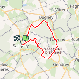
Trail Nordic walking of 13.2 km to be discovered at Bourgogne-Franche-Comté, Jura, Saligney. This trail is proposed by albert39.
Description
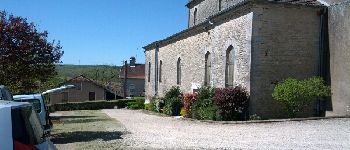
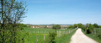
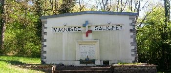
Marche nordique active. Circuit du Mont de Vassange. Départ parking derrière l'église, Le Belmont, Ougney (sur Roche), Taxenne, Vassange en Bas, D12, Bois de Fougeret, Monument au Maquis de Saligney, Fontaine de Berche, et retour parking.
Photos


Positioning
Comments