


Couronne de Charlemagne Cassis

cousam
User

Length
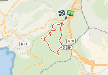
6.1 km

Max alt
316 m

Uphill gradient
284 m
Km-Effort
9.9 km

Min alt
144 m

Downhill gradient
284 m
Boucle
Yes
Creation date :
2021-02-02 11:58:11.348
Updated on :
2021-04-13 16:52:27.374
1h39
Difficulty : Medium

FREE GPS app for hiking
 SityTrail
IGN / Geographical institutes
SityTrail Plus
The world is yours!
About
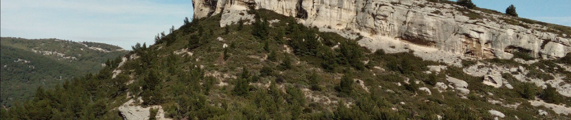
Trail Walking of 6.1 km to be discovered at Provence-Alpes-Côte d'Azur, Bouches-du-Rhône, Cassis. This trail is proposed by cousam.
Description
Petite boucle sympa
Photos


Positioning
Country:
France
Region :
Provence-Alpes-Côte d'Azur
Department/Province :
Bouches-du-Rhône
Municipality :
Cassis
Location:
Unknown
Start:(Dec)
Start:(UTM)
709482 ; 4788726 (31T) N.
Comments