


RS Barlest 2021

LouisROGER
User GUIDE
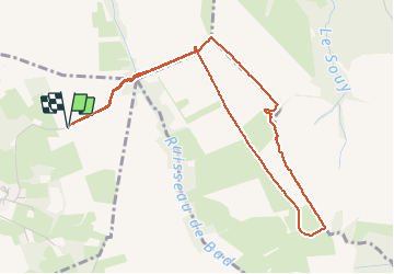

Length
5.4 km

Max alt
543 m

Uphill gradient
68 m
Km-Effort
6.3 km

Min alt
496 m

Downhill gradient
68 m
Boucle
Yes
Creation date :
2021-02-02 13:22:48.513
Updated on :
2021-02-02 15:35:29.22
2h11
Difficulty : Very easy

FREE GPS app for hiking
 SityTrail
IGN / Geographical institutes
SityTrail Plus
The world is yours!
About
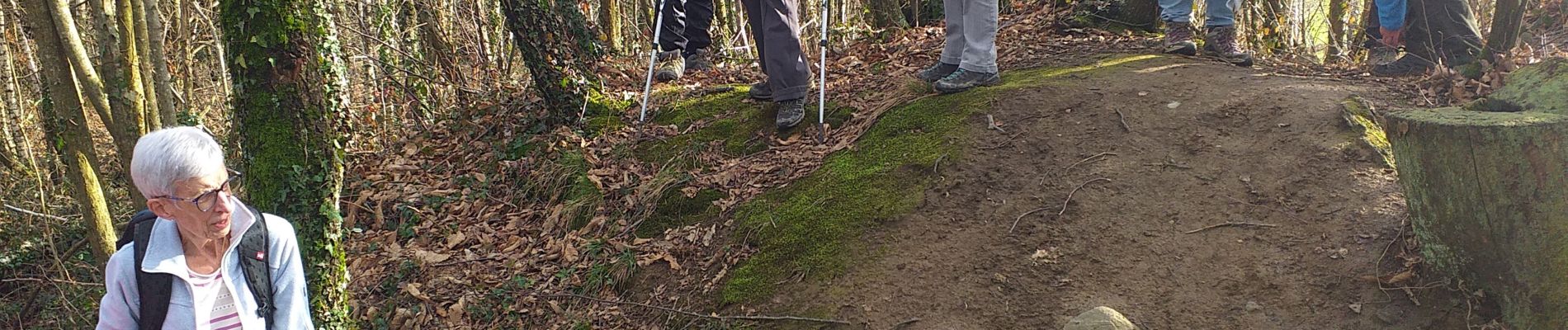
Trail Walking of 5.4 km to be discovered at Occitania, Hautespyrenees, Barlest. This trail is proposed by LouisROGER.
Photos

Positioning
Country:
France
Region :
Occitania
Department/Province :
Hautespyrenees
Municipality :
Barlest
Location:
Unknown
Start:(Dec)
Start:(UTM)
737274 ; 4782174 (30T) N.
Comments