


Robion rochers de Baude

poisson1103
User
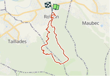

Length
8.9 km

Max alt
499 m

Uphill gradient
465 m
Km-Effort
15.1 km

Min alt
139 m

Downhill gradient
469 m
Boucle
Yes
Creation date :
2021-02-02 09:07:45.666
Updated on :
2023-01-04 11:20:23.832
5h29
Difficulty : Very easy

FREE GPS app for hiking
 SityTrail
IGN / Geographical institutes
SityTrail Plus
The world is yours!
About
Trail Walking of 8.9 km to be discovered at Provence-Alpes-Côte d'Azur, Vaucluse, Robion. This trail is proposed by poisson1103.
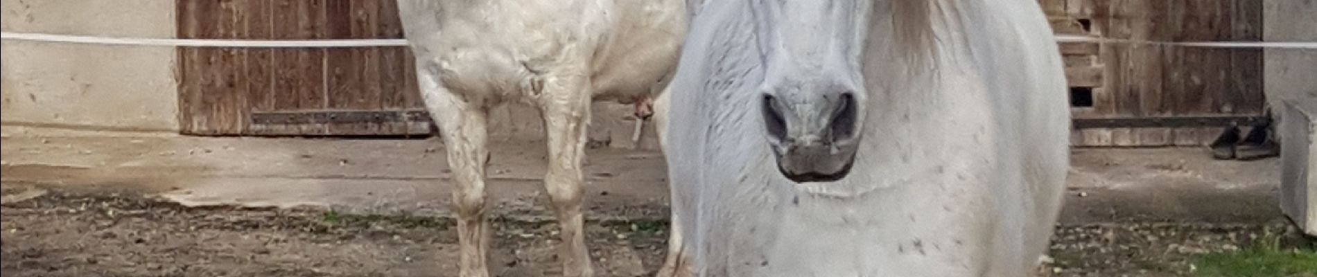
Photos


40 photos in total. Please click on a photo to see them all in the gallery.
Positioning
Country:
France
Region :
Provence-Alpes-Côte d'Azur
Department/Province :
Vaucluse
Municipality :
Robion
Location:
Unknown
Start:(Dec)
Start:(UTM)
669809 ; 4856861 (31T) N.
Comments