


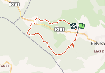

6.7 km | 8.7 km-effort


User


FREE GPS app for hiking
 SityTrail
IGN / Geographical institutes
SityTrail World
The world is yours!
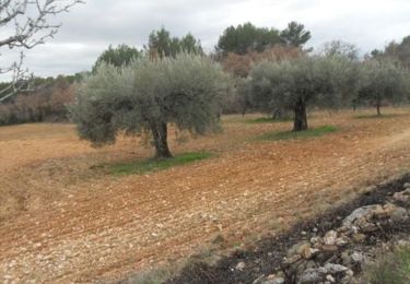
Trail On foot of 7.7 km to be discovered at Occitania, Gard, Belvézet. This trail is proposed by asclier0.
Boucle en garrigue. Quelques montées courtes mais physiques.


Other activity
Walking
Walking
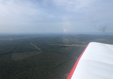
Plane

Walking
Walking
Walking
Walking