


Sensei2021

rio34740
User
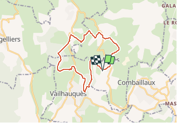

Length
15 km

Max alt
290 m

Uphill gradient
435 m
Km-Effort
21 km

Min alt
98 m

Downhill gradient
434 m
Boucle
Yes
Creation date :
2021-02-07 09:33:52.0
Updated on :
2021-02-07 14:38:42.563
3h31
Difficulty : Unknown

FREE GPS app for hiking
 SityTrail
IGN / Geographical institutes
SityTrail Plus
The world is yours!
About
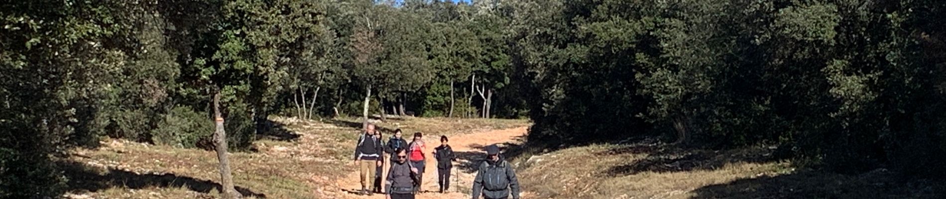
Trail Walking of 15 km to be discovered at Occitania, Hérault, Murles. This trail is proposed by rio34740.
Description
Randonnée avec petits dénivelés..
Photos


Positioning
Country:
France
Region :
Occitania
Department/Province :
Hérault
Municipality :
Murles
Location:
Unknown
Start:(Dec)
Start:(UTM)
559774 ; 4836966 (31T) N.
Comments