


St Étienne du grès nd du chateau

Dan30
User
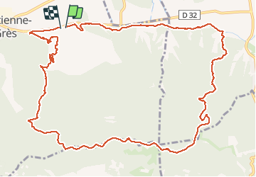

Length
15.4 km

Max alt
233 m

Uphill gradient
353 m
Km-Effort
20 km

Min alt
27 m

Downhill gradient
360 m
Boucle
Yes
Creation date :
2021-02-09 09:09:05.046
Updated on :
2021-02-09 14:42:21.154
4h54
Difficulty : Easy

FREE GPS app for hiking
 SityTrail
IGN / Geographical institutes
SityTrail Plus
The world is yours!
About
Trail Walking of 15.4 km to be discovered at Provence-Alpes-Côte d'Azur, Bouches-du-Rhône, Saint-Étienne-du-Grès. This trail is proposed by Dan30.
Positioning
Country:
France
Region :
Provence-Alpes-Côte d'Azur
Department/Province :
Bouches-du-Rhône
Municipality :
Saint-Étienne-du-Grès
Location:
Unknown
Start:(Dec)
Start:(UTM)
640645 ; 4849009 (31T) N.
Comments